
From cadastral surveys to complex engineering projects, our team of accredited professionals ensures accuracy and reliability in every measurement.
Accredited Surveyors & Consultants
End-to-End Project Management
Accredited Surveyors & Consultants
Quality Assurance & Compliance

Years Experience
Projects Completed
Industries Served
Surcon / MNIS Certified
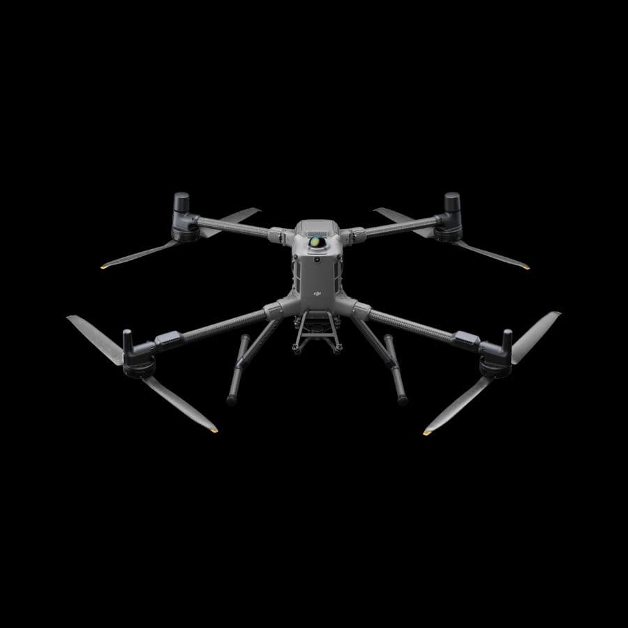
DJI Matrice 400 is DJI's flagship heavy-lift enterprise drone, built for demanding mapping, inspection, and public-safety missions. It carries a 6kg payload across compatible Zenmuse gimbal cameras (L3, H30/H30T, L2, P1), runs up to 59 minutes per flight, and includes built-in RTK for survey-grade positioning.
₦0.00
View Product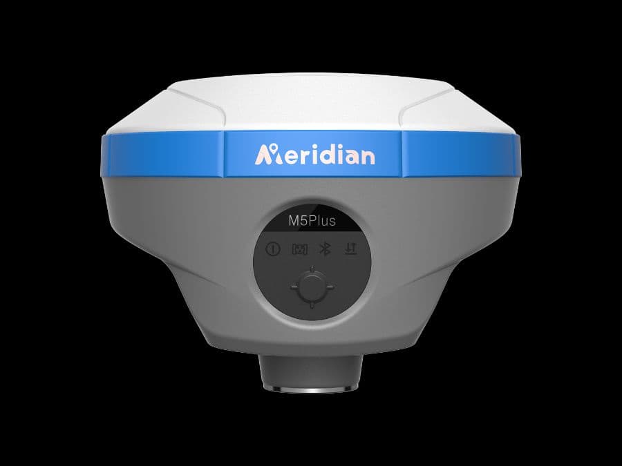
Complete base + rover RTK GNSS kit pairing the Meridian M5Plus rover with the Meridian MBase base station. The MBase's 5W internal radio extends reliable RTK coverage up to 35km under ideal conditions, while the M5Plus rover delivers all-day field battery life — a ready-to-survey pair out of the box.
₦0.00
View Product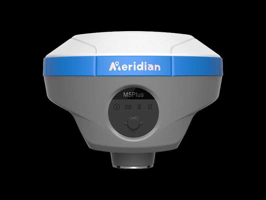
M5Plus GNSS receiver is an extremely lightweight, full-featured, intelligent GNSS receiver system equipped with an integrated full-frequency antenna and advanced multi-channel RTK engine, built-in radio, and 8GB internal storage — built for fast, reliable fixes in demanding field conditions.
₦0.00
View Product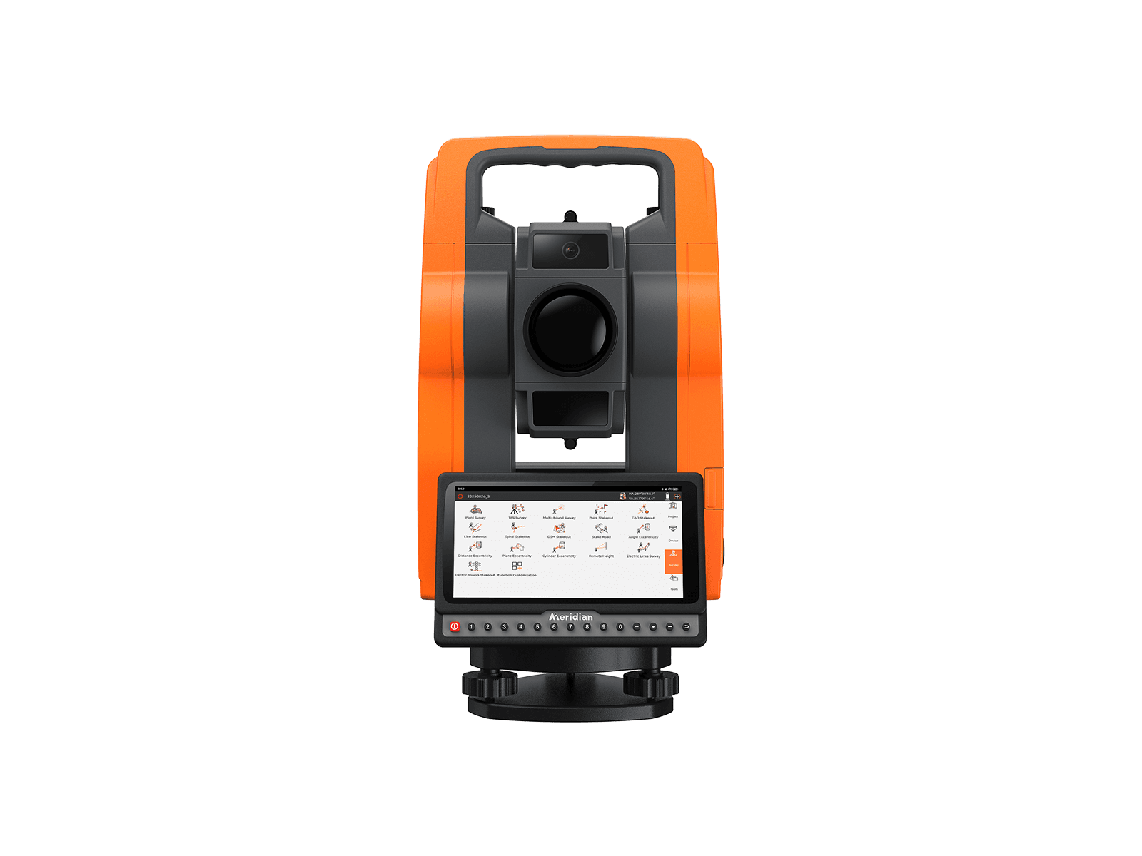
The MTS-A1 features a 6-inch HD touchscreen with Android OS and surveying software, equipped with a high-resolution camera to improve efficiency and accuracy. MTS-A1 offers high-quality, high-accuracy and stable performance.
₦0.00
View Product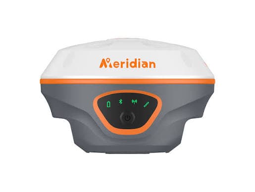
The Meridian M20L is a high-precision RTK system designed for professional surveying. It combines a 1408-channel multi-constellation receiver with 120° calibration-free IMU tilt compensation. Additionally, it features integrated green laser technology, enabling accurate rodless visual alignment up to 100 meters in challenging environments.
₦0.00
View Product



Trusted by industry professionals, civil engineers, and GIS specialists to deliver high-precision surveying equipment on time.
“The Trimble R12i we procured has completely transformed our workflow. The accuracy in challenging canopy environments is unmatched, and the customer support was exceptional.”
Chief Surveyor, Meridian Geo-Systems
“Fast delivery and highly reliable equipment. We have been sourcing our Leica Total Stations here for over two years, and the calibration is always spot-on right out of the box.”
Project Manager, CT EDGE Construction
“Excellent service! They helped us transition to newer RTK GPS systems effortlessly. Their technical advice saved us both time and money on our latest mapping project.”
GIS Specialist, BHL Real Estate
Tell us about your project and our team will get back to you within 24 hours.
Share a few details and one of our surveyors will scope the right solution for you.