Home / Services
Our survey professionals deliver precise geospatial data for land, infrastructure, construction, and water projects.
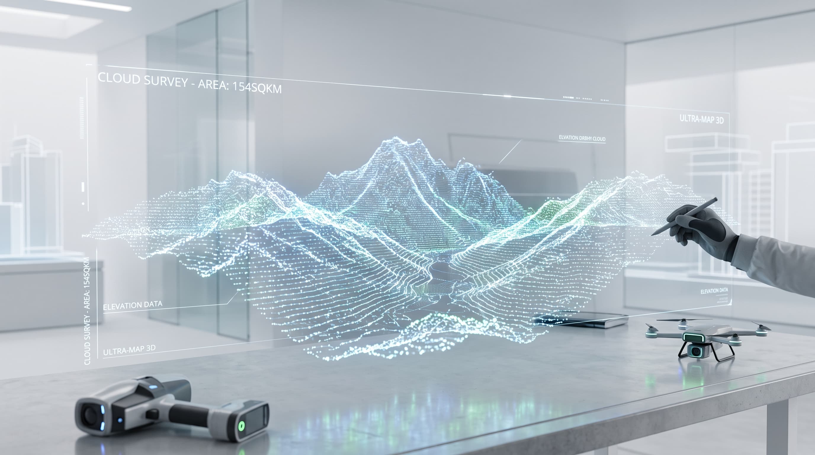
LiDAR, UAV, and manned-aircraft aerial surveys for large-area mapping, volumetrics, and orthophoto generation.
Legal boundary surveys, land documentation, charting, and digital mapping for property registration and titling.
Accurate terrain and feature mapping to support design, planning, and as-built verification.
On-site layout and setting out services ensuring structures are built exactly to design specification.
Underwater terrain mapping and waterway surveys for reclamation, dredging, and marine works.
Offshore positioning and survey support for oil & gas exploration, platform installation, and marine construction.
Route alignment surveys for pipelines and infrastructure corridors, plus mine site and stockpile surveys.
Subsurface investigation and soil analysis to inform foundation design and site suitability.
Our team brings practical field experience to projects across land, construction, and water environments.
We use modern survey methods and instruments to deliver dependable data for planning and decision-making.
From site assessment to final outputs, our survey work is tailored to your project requirements.
Need your equipment repaired or calibrated? Visit Equipment Support
Tell us about your project and our team will get back to you within 24 hours.
Share a few details and one of our surveyors will scope the right solution for you.